Where are the ferries right now?
Look for the Berlin and the Copenhagen on the water between Rostock in the south and Gedser, the southern tip of Denmark, in the north. Click a ship on the map for its speed and course.
The map opens centred on the Berlin, with the line of its recent track. Switch to the Copenhagen or to the whole route with the buttons. Other ships in the area stay visible, the two Scandlines ferries are labelled BERLIN and COPENHAGEN.
Live map: Rostock to Gedser
The map comes from VesselFinder and shows ship positions sent by the ships themselves (AIS). It loads after you click, because VesselFinder then receives your IP address and may set cookies.
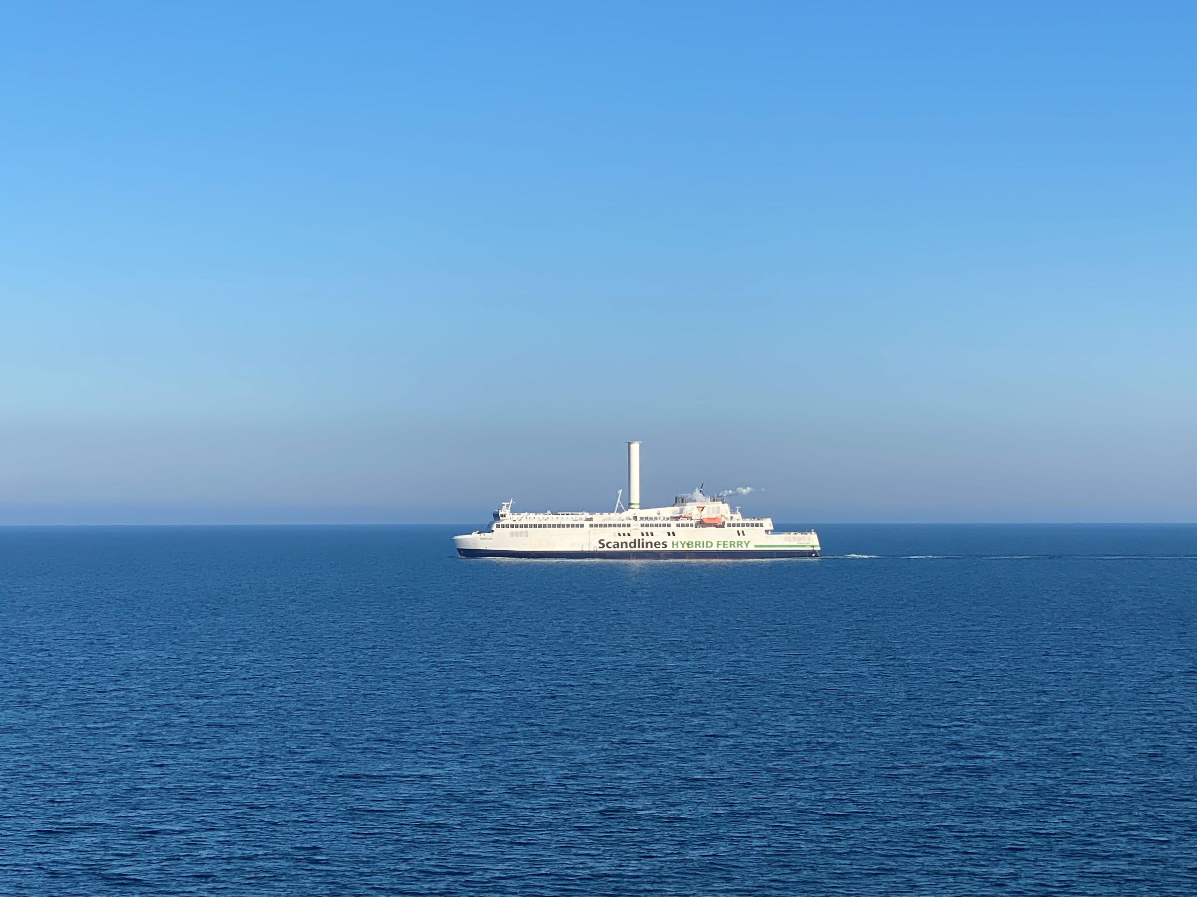
The two ferries on the route
How to read the map
- Two ships, one route. The crossing takes about 2 hours and there are 8 to 9 departures per direction a day, so most of the day one ferry is at sea while the other is in port or on its way back.
- A ship lying still in Rostock or Gedser is unloading and loading for its next departure.
- On the Rostock side the ferry sails up the river Warnow, past Warnemünde, before it reaches the Überseehafen. That last stretch is slow, so a ship off Warnemünde still needs a while.
- A ferry that is late or not moving in strong wind? Check the weather and sea state and the live timetable.
Live map FAQ
How accurate is the position on the map?
The ships send their own position by AIS radio. On a free map such as this one the position can be a few minutes old, and far from the coast there can be short gaps.
Which ships sail between Rostock and Gedser?
The two Scandlines hybrid ferries Berlin (German flag) and Copenhagen (Danish flag). They sail the route all year.
Can I see from the map whether my ferry is on time?
Roughly. If the ship for your departure is still at sea shortly before departure time, it will leave late. The departure times themselves are in the live timetable.